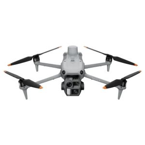
Drones
Enterra s.r.o. introduces a revolutionary novelty in agriculture to the Slovak market. We are the first company in Slovakia to provide aerial drone spraying services.
Filter by:
Items: 13
 Featured!
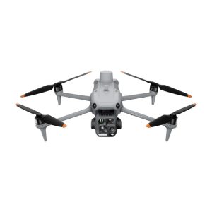 Featured!
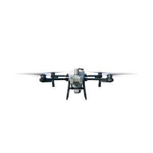 Featured!
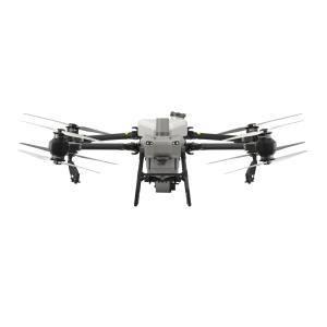 Featured!
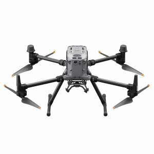 Featured!
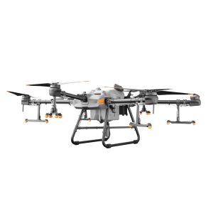 Featured!
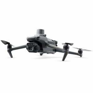 Featured!
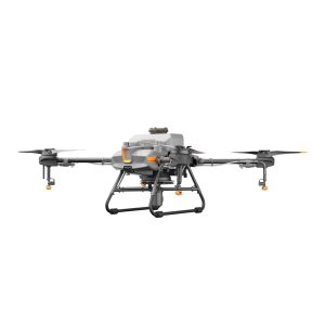 Featured!
Simply enter your email below to save your cart and we'll send you a reminder. It's quick, easy, and ensures you won't lose track of your selections. Happy shopping!