Featured Products
Who we are
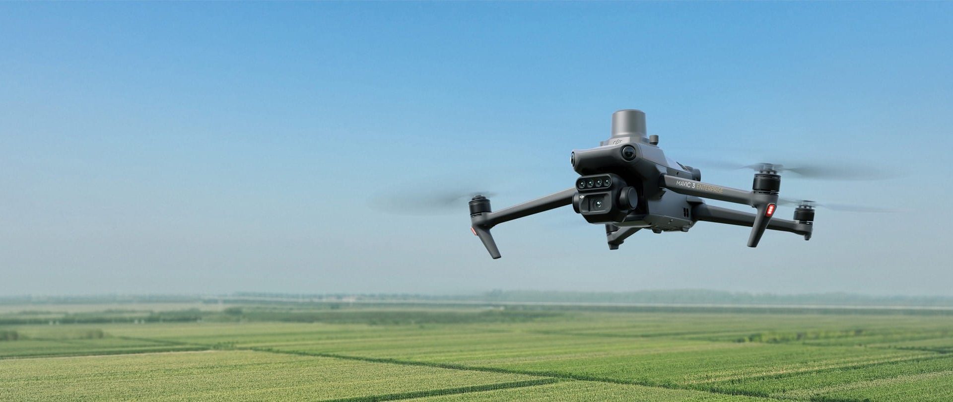
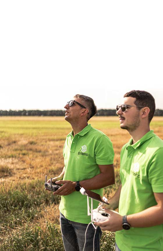
Enterra s.r.o. introduces a revolutionary innovation in agriculture to the Slovak market. We are an official dealer of DJI Agriculture brand, we provide spraying services, mapping with drones and we are also a certified service center. Our mission is to revolutionize agriculture with drones!
Find out more
New arrivals
Our services
Spraying
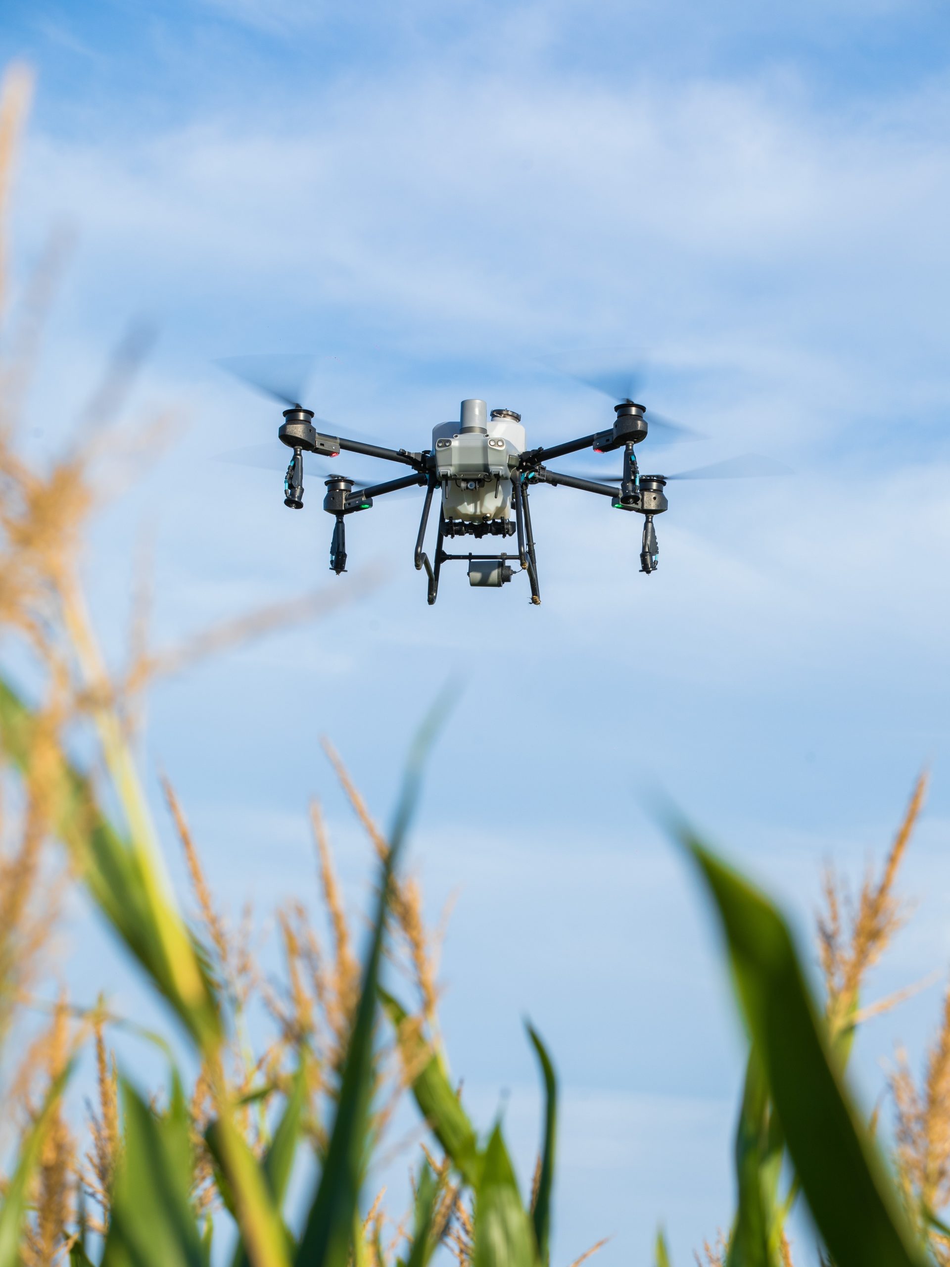
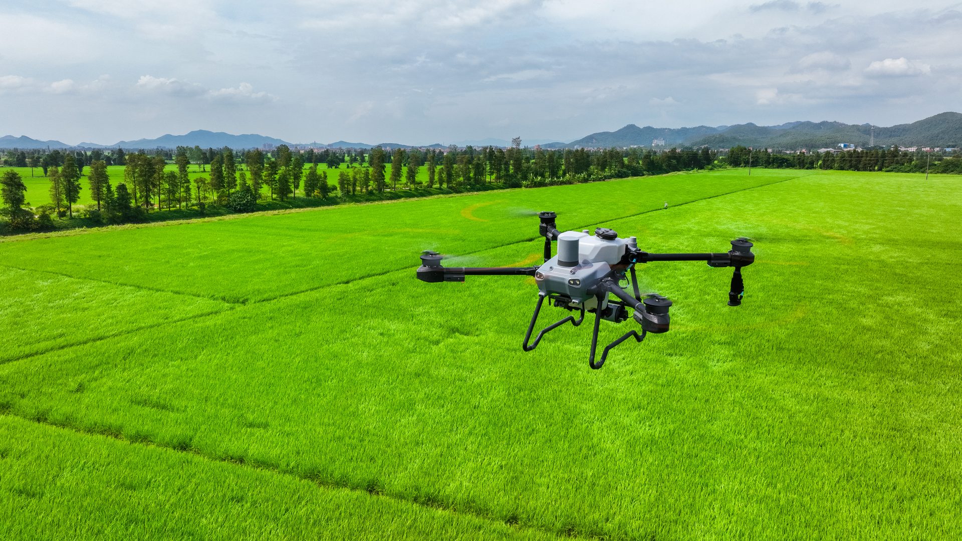
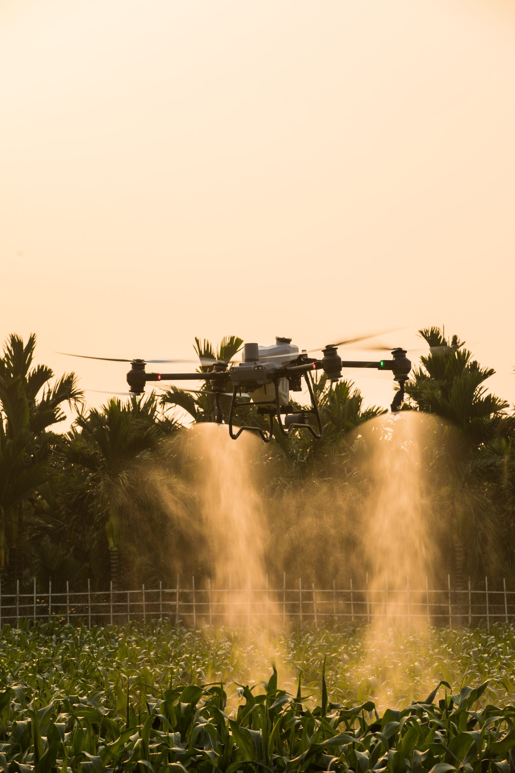
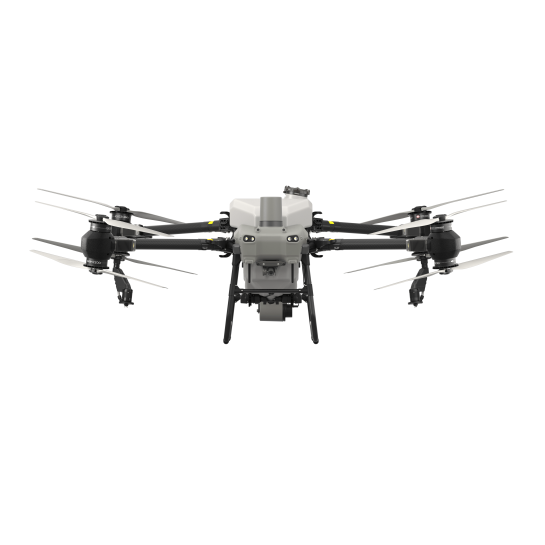
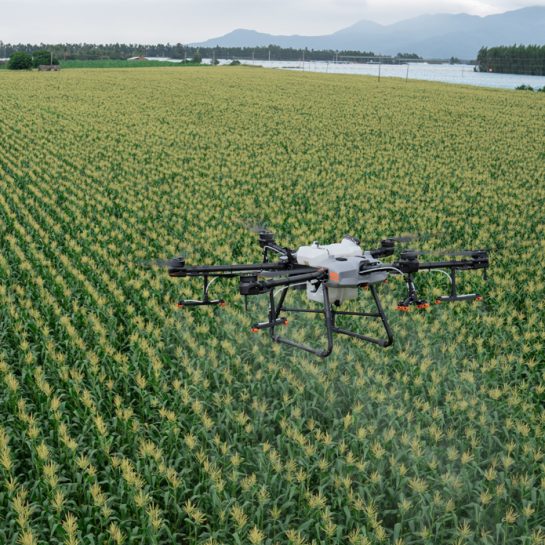
Due to certain legislative restrictions, please do not hesitate to contact us so that we can find a solution that will satisfy you! Timely and effective protection of crops from weeds, pests, and diseases helps to preserve the harvest. Thanks to drones, it is possible to thoroughly and efficiently treat the field both as part of the planned application and in cases of urgent treatment. Drone treatment ensures rapid absorption of the products, they do not run off into the soil, do not pollute it, and do not destroy its natural properties.The technology itself provides the possibility of applying almost all preparations, under almost all circumstances. Spraying can be carried out on completely wet soil, into which ground machinery cannot fit, in areas with numerous obstacles such as poles, trees, etc. Also on tall crops, in higher stages of vegetation. With the help of drones, spraying is carried out without damaging the plantings and leaving technological tracks.
Mapping
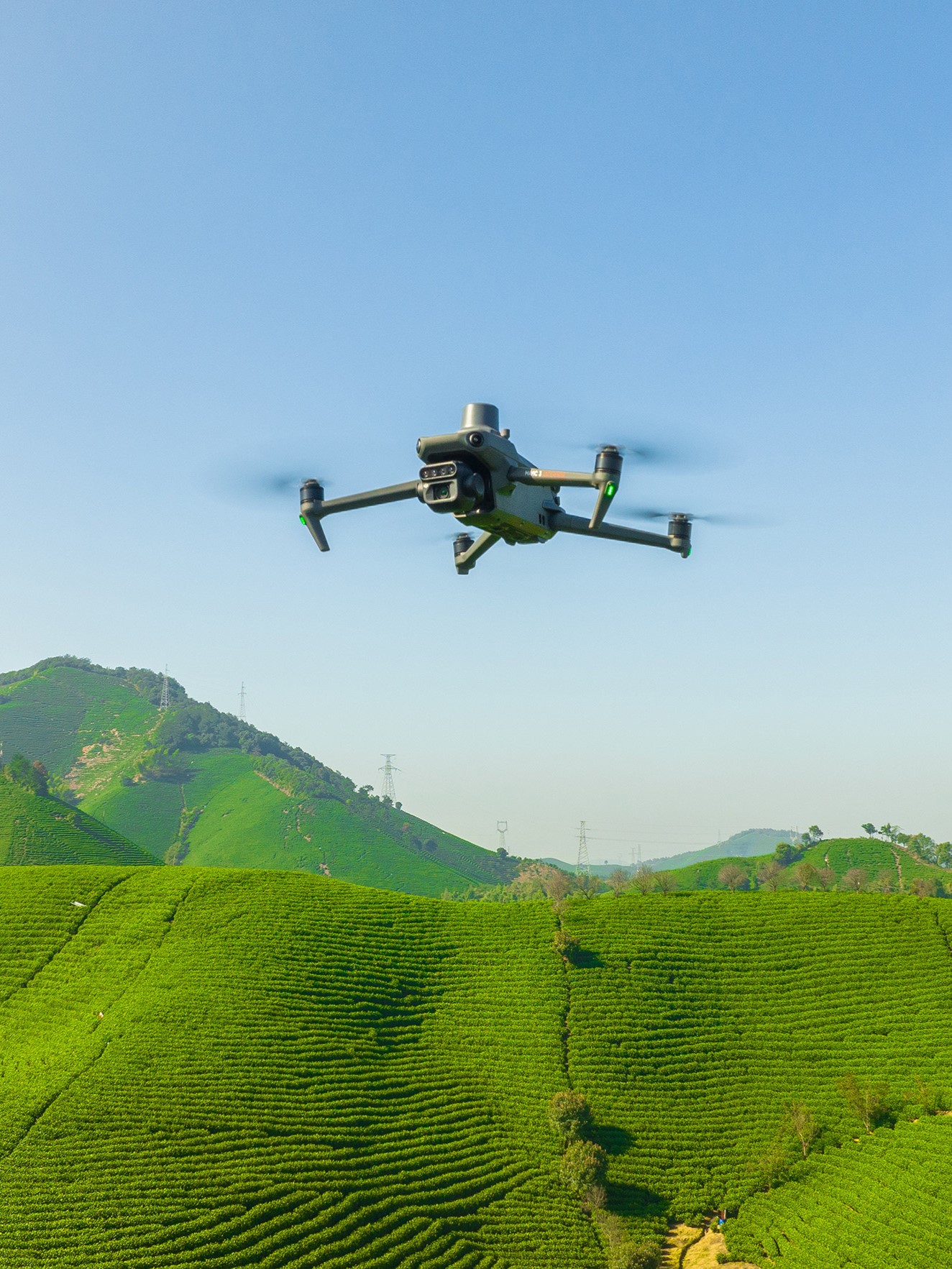
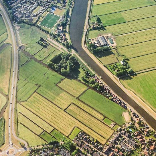
With drone mapping, we can find out the dimensions of the plots, which we can determine with an accuracy of one centimeter. Also we can obtain an elevation map, which can be used to thoroughly explore and examine the terrain. The target product is an orthophoto map with highly detailed data collection across a large area that isn’t possible through satellite images or traditional ground surveying. With the DJI drones, we perform mapping 100 times faster than manual operations.
Multispectral analysis
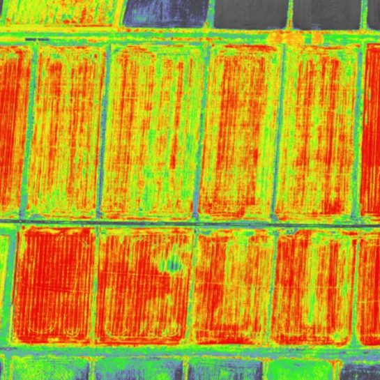
An effective tool for assessing soil productivity and crop analysis, which allows us to detect pests, diseases and weeds, as well as optimize the use of plant protection products, increase soil fertility and optimize fertilization by identifying nutrient deficiencies, analyze seedlings, estimate yields and also identify problem areas for irrigation.
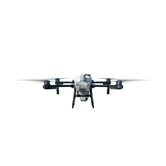
DJI Agras T50
View Details
Enterra in numbers
> 1000
hours saved in standard procedures
12,750
hectars sprayed
1,780,000L
amount of water saved


